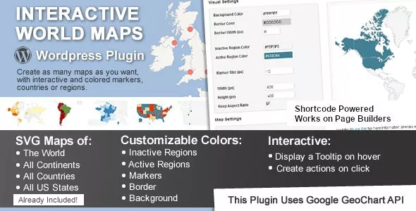
This is a Wordpress plugin to create as many maps as you want, with interactive and colored markers, continents, countries or regions.
Show Different Regions
You will be able to show hundreds of different kinds of maps, already included:
- A map of the entire world.
- A continent or a sub-continent. (Africa, Europe, Americas, Asia, Oceania and all their sub-continents)
- A country. (virtually all the countries in the world are included, featuring the most requested: USA, United Kingdom, Canada, France, Germany, Spain, Italy, Brazil, India, Australia…)
- A country divided by its regions. *
- A state in the United States.
- The United States divided by metropolitan areas.
- A state in the United States divided by metropolitan areas.


Only our members are allowed to comment this post.