MapSVG - Google Maps, Vector Maps, Image Maps, and Store Locator for WordPress v8.10.0

MapSVG is more than just a mapping plugin: it's a custom database seamlessly connected to vector, Google, and image maps.
All kinds of maps in one plugin
- SVG vector maps (all countries included)
- Google Maps (unlimited custom styles)
- Google Maps + your custom vector overlay
- Image maps: add interactivity to any png/jpeg image
Create objects and put them on a map
MapSVG has a built-in database, optimized for performance, easy editing, and seamless interaction with maps. Use it to create any kinds of objects and show them on a map! Show your content
Show your content on a map as markers. Groups markers into clusters. Show popovers, tooltips or large details view on click on a marker or map region. Show a menu with the list of objects next to your map.
The minimum length of a comment is 10 characters.
RELATED ARTICLES

Interactive Geo Maps Pro v1.6.8
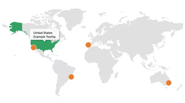
Create minimalist interactive maps, including maps of the world, continents, countries and specific regions like US county maps.

Hero Maps Premium v2.3.9 - Customizable Google Maps Plugin
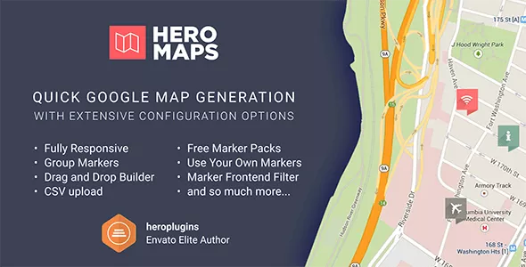
The Hero Maps Premium plugin allows for quick and easy Google Maps addition to your WordPress website.

Super Interactive Maps for Wordpress v2.4
Super Interactive Maps is a fully-featured WordPress Plugin integrated with Google Geochart API that allows you to create maps of country, continent and regions.

WP MAPS PRO - WordPress Plugin for Google Maps v6.0.3
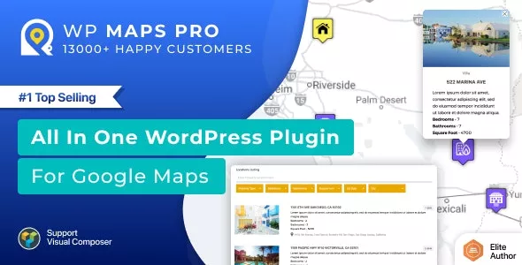
WP Maps Pro is the ultimate Google Maps plugin for WordPress. It’s designed to give you full control over your maps by allowing you to display multiple locations, maps, posts, custom post types,

CM Map Locations Pro v2.8.8
The Google Maps Locations plugin manages locations and supports store search using Google Maps.

Interactive World Maps v2.5
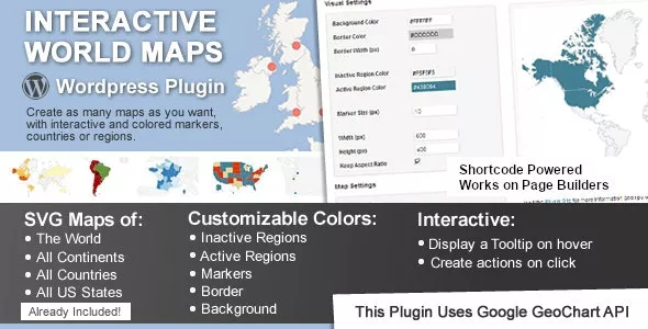
This is a Wordpress plugin to create as many maps as you want, with interactive and colored markers, continents, countries or regions.

Store Locator (Google Maps) for WordPress v5.1.8
Agile Store Locator is a premium WordPress Google Maps Plugin designed to offer you immediate access to all the best stores in your local area.

Bookly Google Maps Address (Add-on) v2.0
The Bookly Google Maps Address (Add-on) streamlines the process of filling out address details in the booking form by using the Google Maps autocomplete service.